Grey, Balmaceda and Queulat
Tongues of ice reach down from the Andes into lakes, fjords and rain-soaked forests.

46°–55° SOUTH · CHILE & ARGENTINA
Where a continent gives way to water, rock, ice and wind.
Explore the far south ↓Torres del Paine · Original photograph: Correliebre / CC BY-SA 4.0 · Editorial adaptation
This page has its own editions in every project language. Some linked articles are still available only in Spanish.
Patagonia begins with a landscape, rather than a line on a map. Its scale gives it away: windswept plateaux, forests descending towards the Pacific, granite ridges and icefields feeding rivers, lakes and fjords.
In Chile, the mountains break into islands and channels. In Argentina, they fall away towards a vast, light-filled steppe. Across both, wildlife follows corridors older than any political boundary.

02 — WATER
South of Chiloé, the Pacific reaches deep into the land. Channels, inlets and fjords weave through brackish water, sheer rock and evergreen forest. Here, navigating is more than getting from place to place: it is a way of understanding the landscape.
“Western Patagonia is a mountain range flooded by the sea.”
Explore the fjords and channels →The Northern and Southern Patagonian Icefields hold one of the largest stores of ice outside the polar regions. Their glaciers carve valleys and feed turquoise lakes; within the ice, layer upon layer preserves a record of the planet's atmosphere.
Explore the glaciers →

Tongues of ice reach down from the Andes into lakes, fjords and rain-soaked forests.
Great glaciers of the Southern Patagonian Icefield, protected within Los Glaciares National Park.

04 — WILDLIFE
Within just a few kilometres, Pacific rain and the Andes' rain shadow create strikingly different worlds. Lenga, ñire and coihue form the southern forests; further east, tussock grasses and low shrubs withstand drought and wind.

05 — PATAGONIA'S SEAS
Balaenoptera musculus
The largest known animal finds vital feeding and nursing grounds in the waters of south-central Chile. Sightings extend to the Gulf of Penas; its range may reach further south, though research in the far south remains limited.
In Chile, it is listed as Endangered. Ship traffic, entanglement in fishing gear, habitat degradation and irresponsible wildlife watching continue to pose serious threats.
Discover the blue whale →Explore Península Valdés →Official species profile · Chile's Ministry of the Environment ↗MARINE LIFE — FURTHER READING
An endemic cetacean, a coastal predator and a filter feeder each reveal a different connection between wildlife, tides and human communities.
Chile's only endemic cetacean favours the shallow, sheltered waters of channels, estuaries and bays.
Read more → PINNIPED · PATAGONIAHaul-out sites, feeding habits and a central place in the history of the far south's canoe peoples.
Read more → INTERTIDAL LIFE · FJORDSBeds of filter feeders link biodiversity, traditional harvesting, shell middens and modern production.
Read more →
CHILE · NEW ARTICLE
Between two oceans lie forests, steppe, whales and a history of navigation that long predates European maps.
An in-depth account of the strait's plants, wildlife, Indigenous peoples and history, including the foundations and responsibilities of Chilean sovereignty.
Explore the Strait of Magellan →
CHILE · LIFE AT THE FAR EDGE
The ocean opens out beyond islands, low forests and peatlands, shaped by generations of seafaring.
Explore the plants, wildlife, Yaghan homeland and maritime history of the far south, from miniature forests to the Drake Passage.
Explore Cape Horn →
ARGENTINA · SANTA CRUZ
06 — AN ESSENTIAL ATLAS
A starting point for understanding the region's diversity, from Pacific rainforests to granite spires and the great Andean lakes.
Granite, lakes and steppe shape one of the far south's most recognisable landscapes.
Read more → 02 · CHILE · ARTICLEMore than 1,200 kilometres through temperate forest, rivers, glaciers and ferry crossings.
Read more → 03 · CHILE · ARTICLEThe waters of Lake General Carrera have sculpted the rock into chambers of light and water.
Read more → 04 · ARGENTINA · ARTICLEAn active wall of ice in the heart of Los Glaciares National Park.
Read more → 05 · ARGENTINA · ARTICLEGranite spires, glacial valleys and trails beneath the Andes.
Read more → 06 · ARGENTINA · ARTICLEDeep lakes and Andean-Patagonian forests in Argentina's first national park.
Read more →07 — SOUTHERN FORESTS
Patagonia's forests trace a narrow band along the Andes, from Neuquén to Tierra del Fuego. Their plants retain ancient links with the flora of Gondwana.

08 — LIVING HOMELANDS
Patagonia was never an empty land. People have travelled through, lived in and named its steppe, channels, forests and shores for millennia.
These peoples and their descendants are part of the present. Their communities, languages, memories and relationships with the land endure on both sides of the Andes.
A maritime culture inseparable from western Patagonia's channels and archipelagos.
Explore Kawésqar Wæs →
Discover Puerto Edén →
Kawésqar National Park →
The continent's southernmost Indigenous people, whose history is closely tied to the waters south of Tierra del Fuego.
Their memory, descendants and present-day communities remain a living part of Karukinka and the history of Tierra del Fuego.
With deep knowledge of the steppe, their routes and camps—aike—linked vast territories between Santa Cruz and Magallanes.
The name preserves a Selk’nam way of naming Tierra del Fuego. To name a place is also to inhabit it.
Explore Tierra del Fuego →
Discover these living homelands →
09 — WHEN TO VISIT
Weather in the far south is never entirely predictable. These notes suggest the character of each season; always check the forecast and each park's official information before travelling.
The longest days favour walking and boat trips. This is also the busiest season, so book well ahead.
Lenga and ñire turn ochre and red. Temperatures fall, and some services begin to reduce their operations.
Short days, ice and seasonal closures change the experience. Specialist equipment and careful planning are essential.
Migratory birds return and the notro flowers, while the weather continues to shift rapidly. This is a season of transition.
Wear layers, keep your belongings dry and never underestimate the wind. Before setting out, check official information on trails, ferries and weather warnings.

AYSÉN · CHILE
BEFORE YOU TRAVEL
Plan for the season, register your visit where required and check official updates on roads and trails. The weather can turn in minutes.
Stay on marked trails, take all your waste away, keep your distance from wildlife and never feed it. Observe fire restrictions: in these southern ecosystems, a footprint can last for decades.
NEW WAYS TO READ THE LAND
Living cultures, wetlands, seabirds and rock art: five paths towards a deeper understanding of Patagonia.
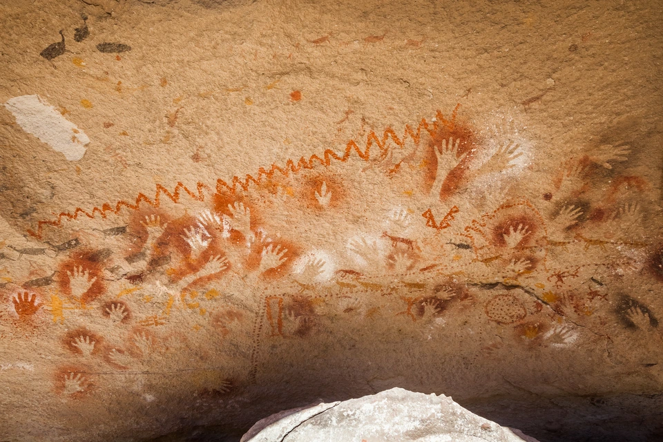
Cueva de las Manos in Santa Cruz: rock art, hunter-gatherers, pigments and guanaco scenes, explored through archaeology and conservation.
Read more →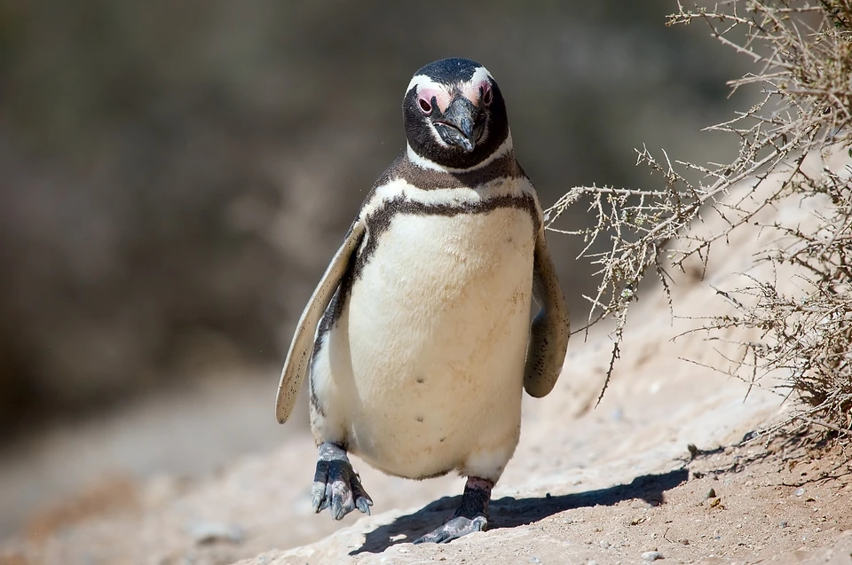
The penguins of Patagonia: species, breeding, feeding and migration, with colonies in Chile and Argentina, scientific research and responsible watching.
Read more →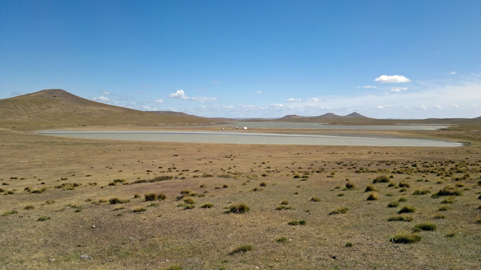
Selk’nam homelands and haruwen, guanacos, archery and Hain; colonisation and genocide, memory, recognition and communities today.
Read more →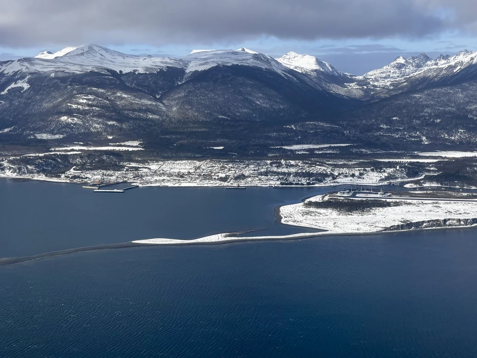
An in-depth portrait of the Yaghan people: southern homelands, canoes, harpoons, basketry and language, alongside colonisation, restitution and present-day communities.
Read more →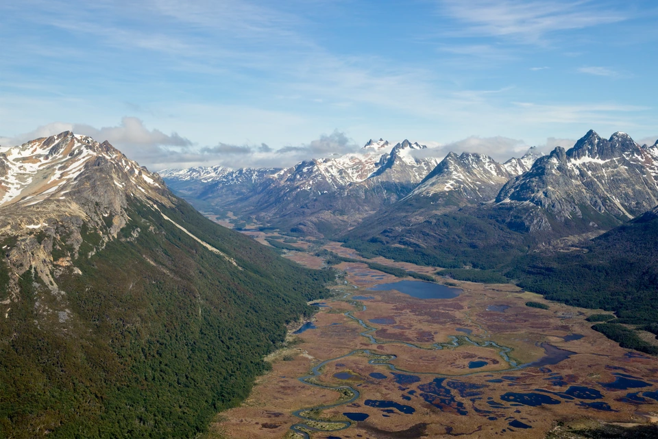
How Patagonia's peatlands form, what they store and the life they shelter, with threats and conservation from the world of mosses to Tierra del Fuego.
Read more →09 — READING THE LANDSCAPE
A guide to the connections that individual articles explore in detail. Patagonia's landscapes come into clearer focus when rock, ice, water, wildlife and cultures are read as parts of the same story.
Granite, marble, sediments and mountains record uplift, intrusions and erosion. Today's landforms are recent chapters in a geological history still unfolding.
Read about the Marble Chapels →Read about Fitz Roy →Glaciers gain snow, deform and lose mass. Meltwater connects mountains, lakes, rivers and fjords; changes in the ice also help us understand the climate.
Read about the Patagonian glaciers →Read about Perito Moreno →The wet west, forests, high Andean habitats and eastern steppe form a mosaic. Species move between these habitats and depend on the connections that remain between them.
Read about plants and wildlife →Read about Torres del Paine →Fresh water meets seawater in the fjords and channels. Currents, nutrients and seabeds sustain mussels, whales and everything between them, alongside human routes used over generations.
Read about the fjords and channels →Read about the blue whale →Peoples and communities have named, travelled through and cared for the steppe, forests and archipelagos. Their languages, memories and rights belong to the present.
Read about Indigenous peoples →Read about Kawésqar Wæs →Roads, waste, noise, fire and close approaches to wildlife have cumulative effects. Planning ahead, respecting closures and choosing responsible services make visiting an act of care.
Read about the Carretera Austral →Read about the puma →10 — READING TRAILS
Explore Patagonia through a sequence of ideas. Each reading trail connects pages that shed light on one another.